Beneath the Gaza Strip lies a network of tunnels, some stretching hundreds of kilometers, employed by HAMAS, posing a significant challenge for Israeli special forces in the region.
One of the primary concerns for Israel's ground forces in Gaza, as highlighted by experts, is the extensive network of HAMAS tunnels, which can run hundreds of kilometers in length and reach depths of up to 80 meters, as reported by Sarbaz.kz.
According to sources familiar with the matter from Western and Middle Eastern regions, HAMAS employs various types of tunnels, including those for attacks, smuggling, storage, and operational purposes, spanning across the 360 sq. km area of Gaza and its borders. American analysts and officials believe that Israeli special forces will encounter an unprecedented challenge in trying to secure these tunnels while avoiding harm to hostages held underground.
"They began to say that they destroyed 100 kilometers of HAMAS tunnels. I'm telling you: the extent of the tunnels we have in the Gaza Strip exceeds 500 kilometers. Even if their account is accurate, they have only destroyed 20% of the tunnels," stated Yahya al-Sinwar, the HAMAS leader in Gaza, following the Israeli Defense Forces' (IDF) operations in 2021.
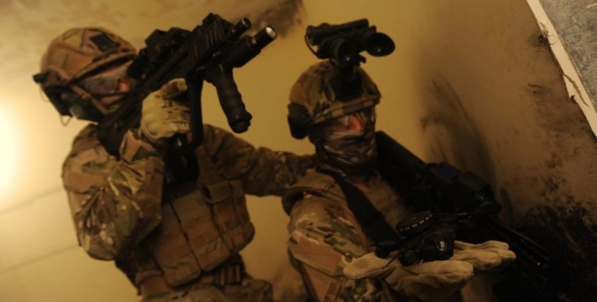
Nonetheless, it cannot be said that the Israeli army is ill-prepared for battles in confined spaces. During recent international exhibitions in Kielce and Seoul, the Rafael company introduced two solutions that can assist soldiers in combat in enclosed environments, including tunnels.
Footprint
Rafael offers the Footprint system, with its crucial component being a small locator attached to soldiers using a strap on their footwear. This locator enables precise movement and 3D location tracking, even in areas where GPS usage is impossible, making it an ideal solution for deployment within confined structures, including staircases, elevators, hallways, and the labyrinthine underground tunnels built under the Gaza Strip.
Tests conducted by the British Army have shown that thanks to Footprint, commanders can accurately determine the real-time locations of their units and soldiers, thereby enhancing situational awareness and facilitating decision-making. The system operates indoors or outdoors, on any terrain, and even in extreme weather conditions.
According to the company, this solution is based on an open architecture and can be easily integrated with combat control systems and communication devices. This enables soldiers to share their location with colleagues as well as with the command overseeing the operation. Moreover, the system has low energy consumption, allowing for continuous use for over eighteen hours.
Additionally, this device is passive, making it untraceable and resistant to jamming. Footprint utilizes data from various sensors, such as magnetometers and barometers, which are then processed using data fusion algorithms and "smart motion algorithms." This approach detects and analyzes the precise movements of the soldier and characterizes their actions, such as walking, running, crawling, or crouching. It also factors in magnetic azimuth and geographic aspects of the surrounding environment, making it a far more advanced method of independent positioning compared to step-count-based systems. The locator also includes built-in "physiological sensors" that can assess the soldier's physical condition and even provide a report in situations requiring assistance.
MagicFly Nano
The second solution, valuable for operations in enclosed spaces, presented at defense exhibitions is the miniature quadcopter known as the MagicFly Nano. This palm-sized micro drone is designed for spatial recognition ahead of the soldier, enhancing situational awareness even when GPS signals are unavailable. Sensors within this unmanned aircraft enable autonomous operation, allowing it to navigate obstacles, map indoor spaces, and detect objects and individuals. MagicFly Nano can operate as a swarm, enabling soldiers to simultaneously survey multiple rooms within a building.
It can also work autonomously, finding its way into specific rooms and identifying objects inside. The drone can connect with its smaller counterparts, Nano units acting as a swarm, and after task division, create a specific spatial reconnaissance system, transmitting data in real-time to operators within a dedicated Wi-Fi network.
Both types of MagicFly UAVs, despite their small size, can fly for 15 minutes. Their sensors allow real-time image transmission with such resolution that a soldier using them can automatically identify people and their characteristic weapon shapes, for instance, distinguishing an AK-47 rifle or an RPG launcher. In the future, it is expected that MagicFly Nano drones will also be employed as small grenades.